Isachsenfonna
Appearance
| Isachsenfonna | |
|---|---|
| Type | Plateau glacier |
| Location | Haakon VII Land Spitsbergen, Svalbard |
| Coordinates | 79°10′08″N 12°52′58″E / 79.1689°N 12.8829°E |
| Area | 140 km2 (54 sq mi) |
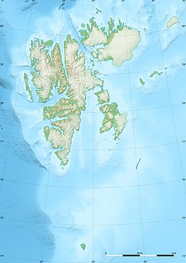
Isachsenfonna is a plateau glacier in Haakon VII Land at the northwestern part of Spitsbergen, Svalbard. It covers an area of about 140 km², and reaches a height of about 900 m (3,000 ft) above sea level. The glacier is named after polar scientist Gunnar Isachsen, who traversed the glacier in 1906.[1]
See also
References
- ^ "Isachsenfonna (Svalbard)". Norwegian Polar Institute. Retrieved 4 March 2013.

