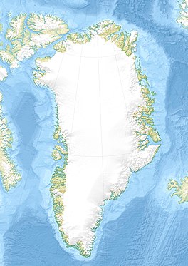
Ingia Glacier
Appearance
| Ingia Glacier | |
|---|---|
| Inngia Isbræ | |
 Animation with the Ingia Glacier in the background —at the center of the picture— and the Umiamako Glacier before it. | |
| Location | Qaasuitsup, Greenland |
| Coordinates | 72°8′N 52°27′W / 72.133°N 52.450°W |
| Terminus | Karrat Fjord, Baffin Bay, North Atlantic Ocean |
Ingia Glacier (Danish: Inngia Isbræ), is a glacier in Qaasuitsup Municipality, West Greenland.
Geography
It is a marine terminating glacier outlet of the western side of the Greenland Ice Sheet. Its terminus is in the Inngia Fjord, a branch of the Karrat Fjord, Nordost Bay, Baffin Bay, North Atlantic Ocean.[1]
The Ingia Glacier flows in a NNE / SSW direction, bending roughly southwestwards shortly before its terminus.[2]
See also
References
- ^ "Inngia Isbræ". Mapcarta. Retrieved 10 February 2017.
- ^ GoogleEarth

