Buarbreen
Appearance
| Buerbreen | |
|---|---|
| Buarbreen | |
 | |
| Location | Vestland, Norway |
| Coordinates | 60°02′37″N 06°25′42″E / 60.04361°N 6.42833°E |
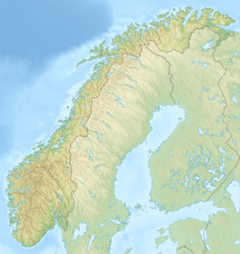
Buarbreen or Buerbreen is a glacier in Ullensvang Municipality in Vestland county, Norway. It is an offshoot of the large Folgefonna glacier. The small glacial arm reaches down into the Buerdalen valley, just 6 kilometres (3.7 mi) southwest of the town of Odda. The glacier is split into two parts, one on either side of a small mountain peak. Both sides drain into the Jordalselvi river which flows out through the valley into the lake Sandvinvatnet.[1]
See also
References
- ^ Store norske leksikon. "Buarbreen" (in Norwegian). Retrieved 2014-06-12.


