Skogerøytoppen
Appearance
| Skogerøytoppen | |
|---|---|
| Ákkelgáisá | |
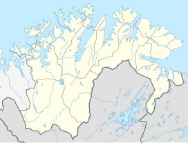
Location in Troms og Finnmark | |
| Highest point | |
| Elevation | 445 m (1,460 ft) |
| Prominence | 445 m (1,460 ft) |
| Coordinates | 69°52′31″N 29°51′35″E / 69.87528°N 29.85972°E |
| Geography | |
| Location | Troms og Finnmark, Norway |
Skogerøytoppen (Template:Lang-sme) is the highest mountain on the island of Skogerøya in Sør-Varanger Municipality in Troms og Finnmark county, Norway. At 445 metres (1,460 ft) tall, it is the fifth-highest point in the municipality. Skogerøytoppen lies on the northern part of the island, overlooking the large Varangerfjorden.[1]
References
- ^ "Skogerøytoppen" (in Norwegian). yr.no. Retrieved 2013-03-10.

