Fferam Uchaf
| Site of Special Scientific Interest | |
| Location | West Gwynedd |
|---|---|
| Grid reference | SH3610486763 |
| Coordinates | 53°21′08″N 4°27′50″W / 53.35228°N 4.4638821°W |
| Interest | Geological |
| Area | 1.05 ha |
| Notification | 2001 |
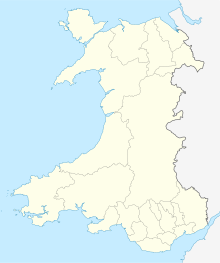
Fferam Uchaf is a Site of Special Scientific Interest (or SSSI) in Anglesey, North Wales, for its exposures of Llanvirn (Ordovician) rocks. It has been designated as a Site of Special Scientific Interest since October 2001 in an attempt to protect its fragile Geological elements.[1] The site has an area of 1.05 hectares and is managed by Natural Resources Wales and is situated 1.5 km north-east of Llanddeusant.
Type
This site is designated due to its geological qualities. In Wales, geological sites range from quarries to rocky outcrops and massive sea-cliffs. 30% of SSSIs in Wales are notified for geological and geomorphological features.
The site has a number of small rock outcrops including a quarry on farmland approximately and is considered to contain the best examples of Llanvirn rocks in Anglesey, a Series that is otherwise poorly represented in North Wales. Fferam-uchaf shows small but stratigraphically important outcrops, but is an important site for an understanding of Lower Ordovician palaeogeography.
See also
References
- ^ Countryside Council for Wales website (Natural Resources Wales since 2013); Archived January 1, 2014, at the Wayback Machine accessdate: 30 December 2013

