
Thompson Point, Queensland
| Thompson Point Queensland | |||||||||||||||
|---|---|---|---|---|---|---|---|---|---|---|---|---|---|---|---|
 Thompson Point | |||||||||||||||
| Coordinates | 23°28′29″S 150°50′25″E / 23.4747°S 150.8402°E | ||||||||||||||
| Population | 10 (2016 census)[1] | ||||||||||||||
| • Density | 0.040/km2 (0.10/sq mi) | ||||||||||||||
| Postcode(s) | 4702 | ||||||||||||||
| Area | 251.2 km2 (97.0 sq mi) | ||||||||||||||
| LGA(s) | Livingstone Shire | ||||||||||||||
| State electorate(s) | Keppel | ||||||||||||||
| Federal division(s) | |||||||||||||||
| |||||||||||||||
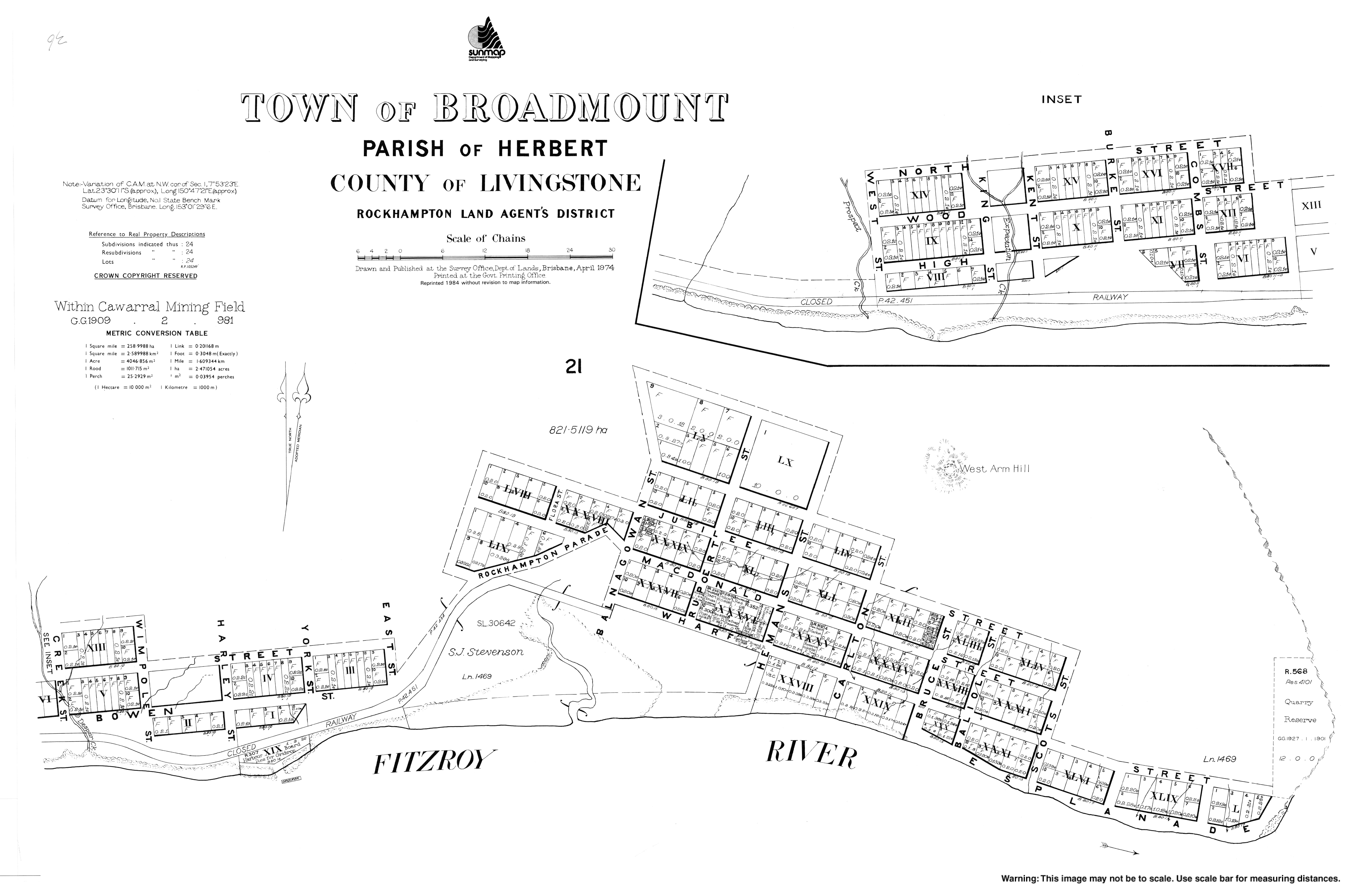
Thompson Point is a coastal locality in the Livingstone Shire, Queensland, Australia.[2] In the 2016 census, Thompson Point had a population of 10 people.[1] The undeveloped town of Broadmount is within the locality on the northern bank of the Fitzroy River (23°29′55″S 150°47′41″E / 23.4986°S 150.7946°E).[3]
References
- ^ a b Australian Bureau of Statistics (27 June 2017). "Thompson Point (SSC)". 2016 Census QuickStats. Retrieved 20 October 2018.
- ^ "Thompson Point – locality in Livingstone Shire (entry 49119)". Queensland Place Names. Queensland Government. Retrieved 29 May 2019.
- ^ "Map of the town of Broadmount". Queensland Government. 1974. Retrieved 12 January 2020.
{{cite web}}: CS1 maint: url-status (link)