Phalanna
39°43′17″N 22°10′06″E / 39.721527°N 22.16827°E

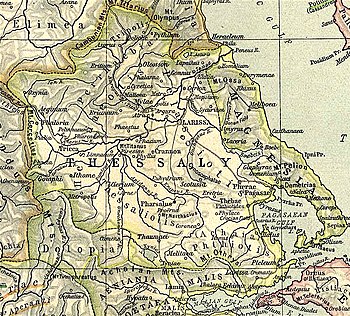
Phalanna (Template:Lang-grc), was a town and polis (city-state)[1] of the Perrhaebi in ancient Thessaly, situated on the left bank of the Peneius, southwest of Gonnus. Strabo says that the Homeric Orthe became the acropolis of Phalanna;[2] but in the lists of Pliny Orthe and Phalanna occur as two distinct towns.[3] Phalanna was said to have derived its name from a daughter of Tyro.[4] It was written Phalannus in Ephorus, and was called Hippia by Hecataeus of Miletus.[4] Phalanna is mentioned by Livy as near Mylae and Gyrton during the Third Macedonian War between the Romans and Perseus of Macedon in 171 BCE.[5]
The site of Phalanna is in the modern community of Damasi (Δαμάσι)[6] near the village of Damasouli (Δαμασούλι).[7]
References
- ^ Mogens Herman Hansen & Thomas Heine Nielsen (2004). "Thessaly and Adjacent Regions". An inventory of archaic and classical poleis. New York: Oxford University Press. pp. 725–726. ISBN 0-19-814099-1.
- ^ Strabo. Geographica. Vol. IX, 5, 19. Page numbers refer to those of Isaac Casaubon's edition.
- ^ Pliny. Naturalis Historia. Vol. 4.9.16.
- ^ a b Stephanus of Byzantium. Ethnica. Vol. s.v.
- ^ Livy. Ab urbe condita Libri [History of Rome]. Vol. 42.54, 65.
- ^ Richard Talbert, ed. (2000). Barrington Atlas of the Greek and Roman World. Princeton University Press. p. 55, and directory notes accompanying. ISBN 978-0-691-03169-9.
- ^ Lund University. Digital Atlas of the Roman Empire.
