Pentamerus Range
Appearance
| Pentamerus Range | |
|---|---|
| Pentamerus Bjerge | |
| Geography | |
| Country | Greenland |
| Range coordinates | 80°39′N 64°30′W / 80.650°N 64.500°W |
| Geology | |
| Rock age | Lower Silurian |
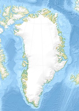
The Pentamerus Range (Template:Lang-da)[1] is a mountain range in far northwestern Greenland. Administratively this range is part of the Qaasuitsup municipality. The area of the range is uninhabited.[2]
This mountain chain was named after the Pentamerus fossils dating back to the Lower Silurian that have been found in it.[3]
Geography
The Pentamerus Range is an up to almost 1,000 m high mountain range in Daugaard-Jensen Land. It runs roughly from northeast to southwest.[1]
See also
Bibliography
References
- ^ a b "Pentamerus Bjerge". Mapcarta. Retrieved 9 January 2019.
- ^ Google Earth
- ^ An Early Silurian ‘Herefordshire’ myodocope ostracod from Greenland and its palaeoecological and palaeobiogeographical significance

