
Gilliat, Queensland
| Gilliat Queensland | |
|---|---|
 Gilliat | |
| Coordinates | 20°41′12″S 141°30′04″E / 20.6866°S 141.5011°E |
| Postcode(s) | 4823 |
| LGA(s) | Shire of Mckinlay |
| State electorate(s) | Traeger |
| Federal division(s) | Kennedy |
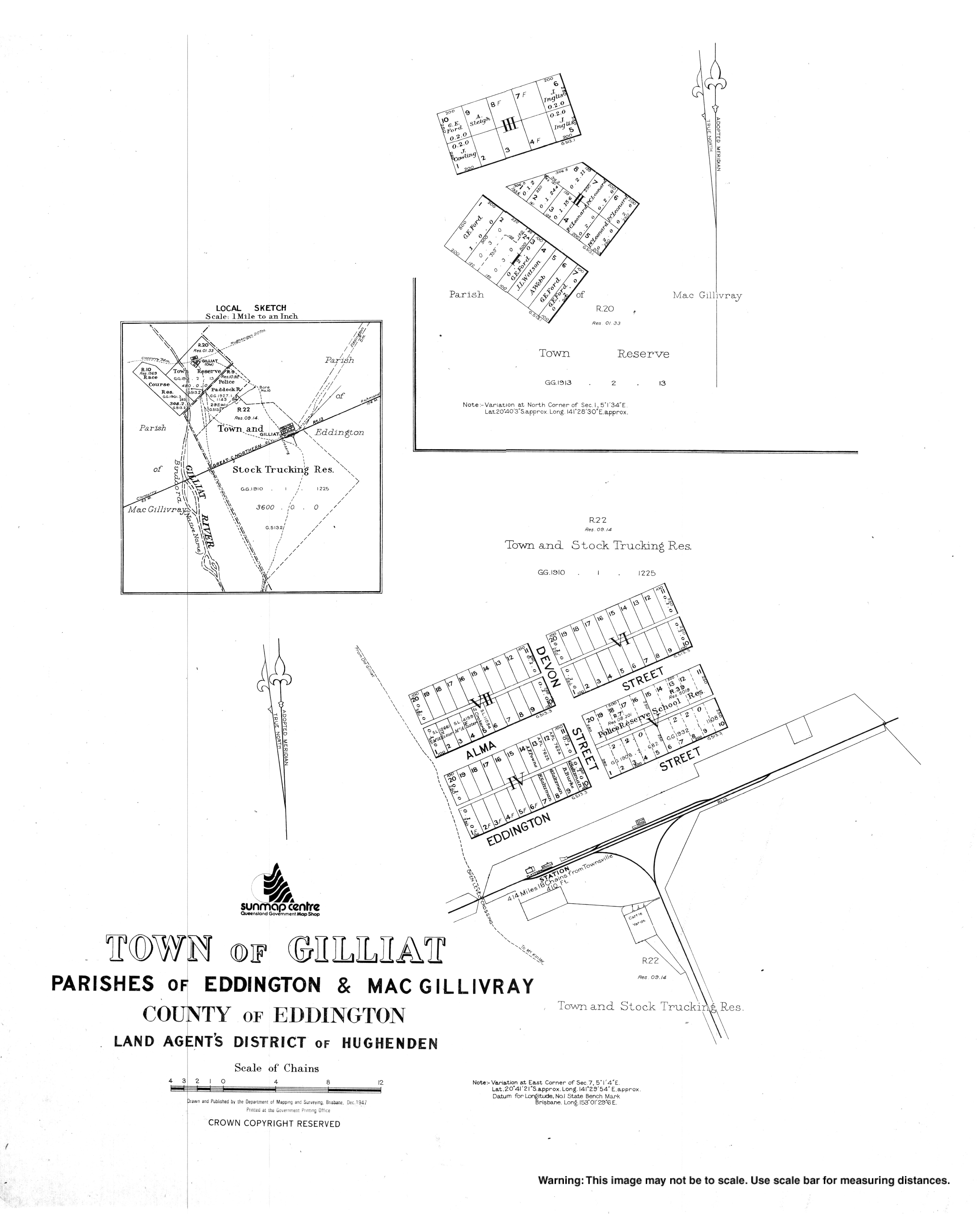
Gilliat is a town in the locality of Julia Creek in the Shire of Mckinlay, Queensland, Australia.[1] It is adjacent to the GIlliat railway station on the Great Northern railway line. As at 2019, there are no buildings in the town.[2]
History
The town of Gilliat is shown on a 1907 survey plan.[1]
At the Queensland Country Women's Association annual conference in August 1930, the Gilliart branch proposed that the association should work to establish a school at Gilliat as there were 31 school-aged children in the district and the association voted to do so.[3] Gilliart State School opened circa 1931 but closed circa 1934.[4]
References
- ^ a b "Gilliat – town in Shire of Mckinlay (entry 13769)". Queensland Place Names. Queensland Government. Retrieved 30 December 2017.
- ^ "Queensland Globe". State of Queensland. Retrieved 2 November 2019.
- ^ "Country Women's Association Annual Conference". Townsville Daily Bulletin. Vol. LII, no. 192. Queensland, Australia. 26 August 1930. p. 10. Retrieved 3 November 2019 – via National Library of Australia.
- ^ Queensland Family History Society (2010), Queensland schools past and present (Version 1.01 ed.), Queensland Family History Society, ISBN 978-1-921171-26-0