Lake Manawa
Appearance
This article needs additional citations for verification. (October 2012) |
| Lake Manawa | |
|---|---|
| Location | Pottawattamie County, Iowa |
| Coordinates | 41°12′22″N 95°51′31″W / 41.20619°N 95.85848°W |
| Type | lake |
| Surface area | 1.158 square miles (3.00 km2) |
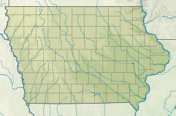
Lake Manawa is a lake located in Council Bluffs, Iowa, in the United States.[1] It was formed from a Missouri River flood in 1881. It is the closest lake to Omaha, Nebraska and surrounding metro area which allows motor boating, water skiing, and wakeboarding. Lake Area: 1.158 square miles (3.00 km2)
References
External links

