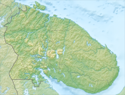
Lake Kovdozero
| Lake Kovdozero | |
|---|---|
 | |
| Location | Murmansk Oblast |
| Coordinates | 66°47′N 32°00′E / 66.783°N 32.000°E |
| Type | natural lake, reservoir |
| Primary inflows | Kovda |
| Primary outflows | Kovda |
| Basin countries | Russia |
| Max. length | 48 km (30 mi) |
| Max. width | 23 km (14 mi) |
| Surface area | 608 km2 (235 sq mi) |
| Max. depth | 56 m (184 ft) |
| Water volume | 3.7 km3 (3,000,000 acre⋅ft) |
| Surface elevation | 37 m (121 ft) |
| Islands | > 580 |

Lake Kovdozero (Russian: Ковдозеро) is a large freshwater lake in the southern Murmansk Oblast, northwestern part of Russia. There are many islands in the lake. The hydroelectric power plant was built in 1955, thus transforming the lake to the dam. The surface area of Kovdozero has risen from 224–294 km² to 608 km². Many rivers empty into Kovdozero and it flows to the White Sea through the river Kovda. The lake is used to fishery, water transport and timber rafting.


