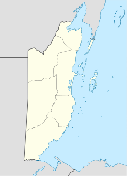
Bella Vista, Belize
Appearance
This article relies largely or entirely on a single source. (October 2017) |
Bella Vista | |
|---|---|
Village | |
| Coordinates: 16°30′29″N 88°31′52″W / 16.508°N 88.531°W | |
| Country | Belize |
| District | Toledo District |
| Constituency | Toledo East |
| Population (2010)[1] | |
• Total | 3,508 |
Bella Vista is the largest village in the Toledo District of Belize. According to the 2010 census,[1] Bella Vista had a population of 3,508 people. It is located ten miles south-west of Independence and Mango Creek and fifty miles north of Punta Gorda the district's capital. Its neighbouring village is San Isidro which is considerably smaller.
References
- ^ a b "Belize: Districts, Towns & Villages - Population Statistics in Maps and Charts". www.citypopulation.de. Retrieved 2017-10-08.

