Sherbrooke Forest
| Sherbrooke Forest | |
|---|---|
 Eucalyptus regnans trees in Sherbrooke Forest | |
| Map | |
| Geography | |
| Location | Victoria, Australia |
| Coordinates | 37°53′43″S 145°21′47″E / 37.89528°S 145.36306°E |
| Ecology | |
| Dominant tree species | Mountain ash |
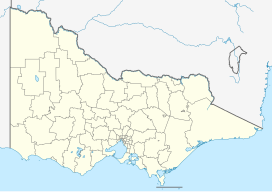
Sherbrooke Forest lies at an altitude of 220-500 m within the Dandenong Ranges, 40 km east of Melbourne, in Victoria, Australia, close to the suburb of Belgrave. The vegetation is classified as wet sclerophyll forest with the dominant tree species the mountain ash, Eucalyptus regnans, the tallest flowering plant in the world. From the mid-19th century until 1930 it was logged. In 1958 it was gazetted as a park, and in 1987 it was merged with Doongalla Reserve and Ferntree Gully National Park to form the 32.15 km2 Dandenong Ranges National Park. Grants Picnic Grounds is located in Sherbrooke Forest.
Sherbrooke Forest is famous for its population of superb lyrebirds and was an early, and still important, site for the study and conservation of this species. One of the early lyrebird researchers and sound recordists of the 1930s was Raymond Littlejohns. Another researcher who analysed lyrebird song was Konstantin Halafoff.

