Taborio
Appearance

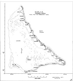
Taborio is a settlement on the island of Tarawa, Kiribati, where the Immaculate Heart College, a Catholic school, is situated.
Taborio is situated on three and a half hectares of land surrounded by sea on all sides or reef-mud at low tide except where it is joined onto Nootoue village on its southern end.[1]
References
[edit]- ^ Luker, Vicki (2008). Telling Pacific Lives - Prisms of Process. Australia: ANU E Press. pp. 127. ISBN 9781921313813.
1°30′N 173°01′E / 1.500°N 173.017°E
