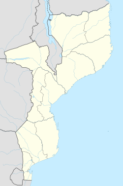
Balama
Appearance
Balama | |
|---|---|
| Coordinates: 13°20′55″S 38°34′11″E / 13.34861°S 38.56972°E | |
| Country | |
| Provinces | Cabo Delgado Province |
| District | Balama District |
| Climate | Aw |
Balama is a town in Balama District of Cabo Delgado Province in northern Mozambique.[1] It is the seat of the district.
References[edit]
- ^ "NGA GeoNames Database". National Geospatial-Intelligence Agency. Retrieved 2008-06-16.
External links[edit]

