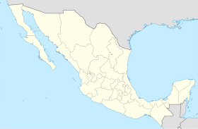
Jalapa, Baja California
Appearance
Jalapa | |
|---|---|
| Coordinates: 32°27′59″N 115°11′52″W / 32.46639°N 115.19778°W | |
| Country | |
| State | Baja California |
| Elevation | 56 ft (17 m) |
| Population (2010) | |
| • City | 671 |
| • Urban | 0 |
Jalapa is an ejido in the Mexican state of Baja California. It is located at 32°27′59″N 115°11′52″W / 32.46639°N 115.19778°W in the dried-up delta of the Colorado River. It lies within Mexicali Municipality.
Its postal code is 21700 and its long-distance telephone dialing code is 686.

