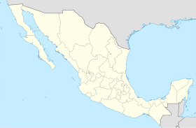
Lázaro Cárdenas, Baja California
Appearance
Lázaro Cárdenas | |
|---|---|
 | |
| Coordinates: 30°33′37″N 115°56′33″W / 30.56028°N 115.94250°W | |
| Country | |
| State | Baja California |
| Municipality | Ensenada |
| Elevation | 92 ft (28 m) |
| Time zone | UTC-8 (Northwest US Pacific) |
| • Summer (DST) | UTC-7 (Northwest) |
Lázaro Cárdenas (Spanish: [ˈlasaɾo ˈkaɾðenas] ) is a locality in the recently-formed San Quintín municipality of the Mexican state of Baja California with a population of about 15 thousand and is the largest population center in the entire municipality, far surpassing the population of the locality of San Quintín itself (with a population of about 5,000).

