Evergreen River
Appearance
| Evergreen River | |
|---|---|
| Location | |
| Country | United States |
| State | Wisconsin |
| Physical characteristics | |
| Source | Northwest of White Lake |
| • location | Flora Lake |
| • coordinates | 45°11′47″N 88°48′50″W / 45.1963581°N 88.8139965°W |
| Mouth | Wolf River |
• location | South of Markton |
• coordinates | 45°03′15″N 88°39′20″W / 45.0541444°N 88.6556613°W |
• elevation | 978 ft (298 m) |
| Basin features | |
| Tributaries | |
| • left | McCall Creek, Elton Creek Evergreen Creek |
| • right | Deadman Creek |
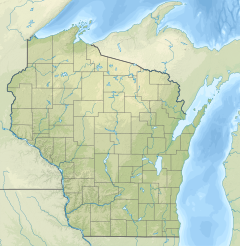
The Evergreen River is a river in north east Wisconsin that flows through Langlade and Menominee counties.[1] The source of the river is Flora Lake in the Town of Evergreen.[2] The Evergreen River conjoins the Wolf River south of Markton. The majority of land around the river is wooded and largely undeveloped.[3]
The Evergreen River State Fishery Area follows the course of the river for a few miles in Langlade County.[4] The land is owned and operated by the Wisconsin Department of Natural Resources.
See also
References
- ^ "Feature Detail Report for: Evergreen River". USGNIS. U.S. Department of the Interior. Retrieved 1 December 2020.
- ^ "Flora Lake". Wisconsin DNR. Retrieved 1 December 2020.
- ^ "Evergreen River State Fishery Area". Wisconsin DNR. Retrieved 1 December 2020.
- ^ "Evergreen River Fishery Area". Wisconsin DNR. Retrieved 1 December 2020.


