Keterisi Mineral Vaucluse
Appearance
| Keterisi Mineral Vaucluse Natural Monument | |
|---|---|
| Location | Mtskheta-Mtianeti, Georgia |
| Nearest city | village Keterisi |
| Coordinates | 42°35′47″N 44°23′59″E / 42.59639°N 44.39972°E |
| Area | 0.01 km2 (0.0039 sq mi) |
| Website | Keterisi Mineral Vaucluse |
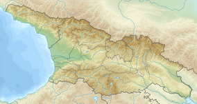
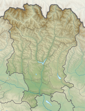
Keterisi Mineral Vaucluse Natural Monument (Georgian: ქეტერისის მინერალური ვუკლუზი) is a cluster of powerful mineral water artesian aquifers pouring out at the foot of the Greater Caucasus, known as Narzan vaucluse. These mineral springs provide 25-30 million liters of hydrocarbonate-calcium water, which corresponds to 300-350 liters per second. From these sources originates stream, which creates water cascades in the village of Keterisi. [1][2][3]
It is part of Kazbegi Protected Areas[4] along with Kazbegi National Park and five Natural Monuments:
- Sakhizari Cliff,
- Abano Mineral Lake,
- Truso Travertine,
- Jvari Pass Travertine,
- Keterisi Mineral Vaucluse.
References
Wikimedia Commons has media related to Keterisi Mineral Vaucluse.
- ^ Keterisi Mineral Vaucluse in Georgia
- ^ Keterisi Mineral Vaucluse Natural Monument
- ^ Keterisi Mineral Natural Monument (photo)
- ^ Kazbegi Support Programme for Protected Areas in the Caucasus - Georgia (SPPA-Georgia)


