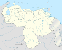
El Amparo, Apure
El Amparo | |
|---|---|
| Coordinates: 7°6′0″N 70°46′0″W / 7.10000°N 70.76667°W | |
| Country | |
| State | Apure |
| Municipality | Páez Municipality |
El Amparo is a town located in Páez Municipality, Apure of Venezuela. It is located on the border with Colombia, on the banks of the Arauca River.
The Massacre of El Amparo took place near the town.[1]
References
- ^ Amnesty International, 31 March 1993, Venezuela: The Amparo Massacre: Four years on

