Hospital Hill

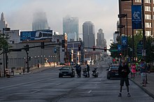
Hospital Hill is a neighborhood in Kansas City, Missouri. The neighborhood is located between 22nd Street to 25th Street and Gillham Road to Troost Avenue. This name reflects not only the geography on which the buildings rest, but also a history of public hospitals on the same site dating back to 1870. Hospital Hill grew in concordance with the construction of local hospitals, and was further populated as the University of Missouri–Kansas City School of Medicine was established.
Today
Truman Medical Center-Hospital Hill and Children's Mercy Hospital, along with the University of Missouri – Kansas City schools of medicine, pharmacy, nursing, and dentistry, are located on Hospital Hill.
