
Jeffery Glacier
| Jeffery Glacier | |
|---|---|
| Type | Valley glacier |
| Location | Denali Borough, Alaska, U.S. |
| Coordinates | 63°08′16″N 151°04′33″W / 63.13778°N 151.07583°W |
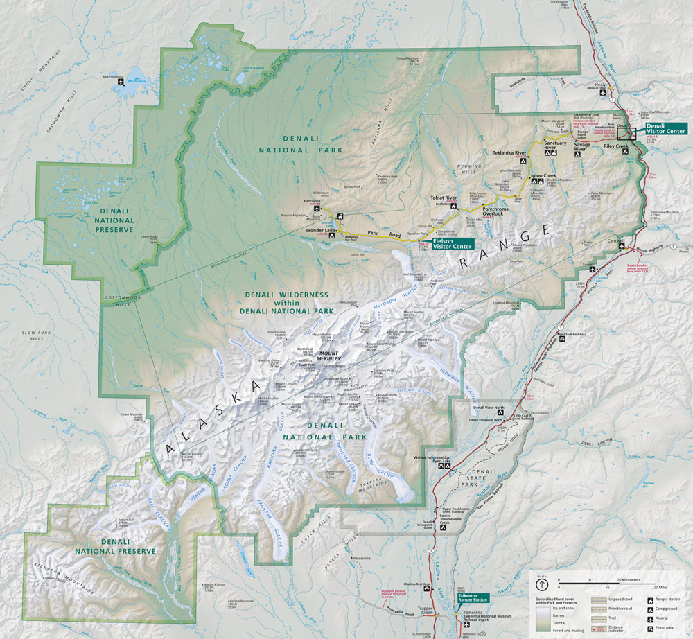
Jeffery Glacier is a glacier in Denali National Park and Preserve in the U.S. state of Alaska. The glacier begins in the Alaska Range on the north side of Denali directly below the Wickersham Wall, heading northeast to join Peters Glacier after the latter's Tluna Icefall.[1][2][3]
See also
Cited references
- ^ "Map of Denali National Park and Preserve". Denali National Park and Preserve. National Park Service. Retrieved 1 April 2013.
- ^ Denali National Park and Preserve (Map). !:225,000. National Geographic Maps. 2007. ISBN 978-1-56695-328-3.
- ^ "Jeffery Glacier". Geographic Names Information System. United States Geological Survey, United States Department of the Interior. Retrieved 2013-04-01.
This article about a glacier in Alaska is a stub. You can help Wikipedia by expanding it. |