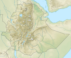
Adabay River
Appearance
| Adabay | |
|---|---|
| Location | |
| Country | Ethiopia |
| Region | Amhara Region |
| Physical characteristics | |
| Source | |
| • coordinates | 10°1′N 39°3′E / 10.017°N 39.050°E |
| • elevation | 1,905 m (6,250 ft) |
| Basin features | |
| River system | Permanent river |
| Tributaries | |
| • left | Beresa |
| • right | Chacha |
| Topography | Mountains and deep gorges |
Adabay River is a river of central Ethiopia which, along with the Wanchet River, defined the former district of Marra Biete.[1] Its tributaries include the Chacha, the Beresa, and three other streams which join together at the top of a deep canyon.[2][3]
References
[edit]- ^ G.W.B. Huntingford, The historical geography of Ethiopia from the first century AD to 1704, (Oxford University Press: 1989), p. 153
- ^ Journals of the Rev. Messrs. Isenberg and Krapf, Missionaries of the Church Missionary Society, Detailing their proceedings in the kingdom of Shoa, and journeys in other parts of Abyssinia, in the years 1839, 1840, 1841 and 1842, (London, 1843), p. 243
- ^ Ādabay Shet’ GeoView.info

