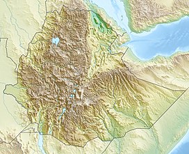
Adwa (volcano)
| Adwa | |
|---|---|
| Highest point | |
| Elevation | 1,733 m (5,686 ft) |
| Listing | List of volcanoes in Ethiopia |
| Coordinates | 10°04′12″N 40°50′24″E / 10.07000°N 40.84000°E |
| Geography | |
| Location | Ethiopia |
| Geology | |
| Mountain type | Stratovolcano |
| Last eruption | Unknown |
Adwa (also known as Aabida, Amoissa, or Dabita) (1733 m/5686 ft.) is a stratovolcano in Ethiopia, located in the southern Afar region and has a 4 by 5 km caldera. Due to the location of the volcano near the boundary between Afar and Issa tribes, little is known about the past and present behavior of the volcano. However, an earthquake and InSAR study conducted by Derek Keir and colleagues shows that a magma intrusion around 5 km deep and 8 km long emanated away from the eastern side of the volcano in May 2000.[1]
See also
References
- ^ Keir, D; Pagli, C; Bastow, I; Ayele, A (March 2011). "The magma-assisted removal of Arabia in Afar: Evidence from dike injection in the Ethiopian rift captured using InSAR and seismicity". Tectonics. 30 (2). doi:10.1029/2010TC002785.

