Alcalatén
Appearance
Alcalatén | |
|---|---|
 | |
| Country | |
| Autonomous community | |
| Province | Castellón |
| Capital | L'Alcora |
| Municipalities | |
| Area | |
| • Total | 648.68 km2 (250.46 sq mi) |
| Population (2009) | |
| • Total | 16,991 |
| • Density | 26/km2 (68/sq mi) |
| Demonym | |
| Time zone | UTC+1 (CET) |
| • Summer (DST) | UTC+2 (CEST) |
| Largest municipality | L'Alcora |
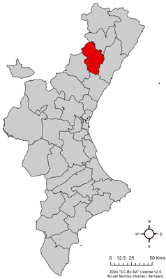
Alcalatén (Catalan pronunciation: [aɫkalaˈten]) is a comarca in the province of Castellón, Valencian Community, Spain.
Municipalities

- L'Alcora
- Atzeneta del Maestrat
- Benafigos
- Xodos
- Costur
- Figueroles
- Lucena del Cid
- Useras
- Vistabella del Maestrazgo
40°08′19″N 0°16′48″W / 40.13861°N 0.28000°W
