
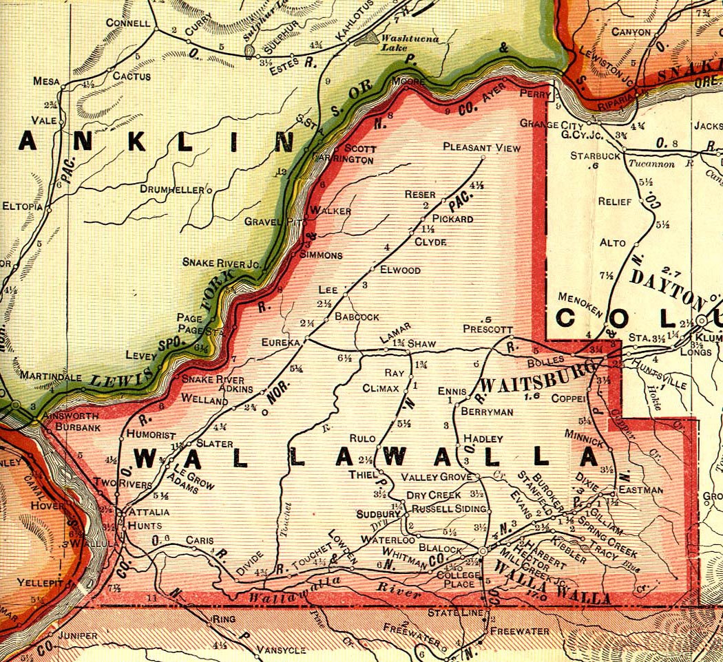
Attalia, Washington
Attalia is an extinct town in Walla Walla County, Washington. The GNIS classifies it as a populated place.[1] Attalia was located on the East shore of the Columbia River some 8 miles downriver from Burbank.
A post office called Attalia was established in 1906, and remained in operation until 1952.[2] According to tradition, the town was named after a place in Italy.[3]
Attalia was a stop on both the Northern Pacific Railway and the Oregon Railroad and Navigation Company in 1909. During the 1920s, the town had a newspaper, the News Tribune. Some amount of oil exploration also took place during the 1920s, but never amounted to anything.[4][5]
References
- ^ U.S. Geological Survey Geographic Names Information System: Attalia, Washington
- ^ "Post Offices". Jim Forte Postal History. Archived from the original on 6 March 2016. Retrieved 18 July 2016.
- ^ Meany, Edmond S. (1923). Origin of Washington geographic names. Seattle: University of Washington Press. p. 10.
- ^ http://www.usgwarchives.net/maps/washington/wa-crams/wallawal.jpg
- ^ "Archived copy". Archived from the original on 2008-12-24. Retrieved 2009-02-11.
{{cite web}}: CS1 maint: archived copy as title (link)
Municipalities and communities of Walla Walla County, Washington, United States | ||
|---|---|---|
| Cities |  | |
| CDPs | ||
| Unincorporated communities | ||
| Ghost towns | ||
46°06′28″N 118°55′12″W / 46.10778°N 118.92000°W
This Walla Walla County, Washington state location article is a stub. You can help Wikipedia by expanding it. |