Central Region, Scotland
This article needs additional citations for verification. (January 2008) |
56°03′47″N 3°47′46″W / 56.063°N 3.796°W

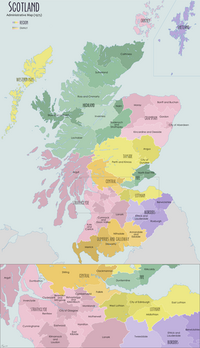
Central Region (Roinn Meadhanach in Gaelic) was a local government region of Scotland from 1975 to 1996. It is now divided into the council areas of Clackmannanshire, Falkirk and Stirling, which had previously been districts within Central. Central Regional Council's HQ was at Viewforth in Stirling which had been previously the HQ of Stirlingshire County Council.
At the time of the local government reorganisation of 1975 there was great discussion on where the new region should be based the options being Stirling or Falkirk. Stirling was chosen over Falkirk as in 1972 the county council had just finished construction of a new office building in Stirling at Viewforth.
The Dunblane massacre occurred within the last month of Central Regional Council's existence at one of its primary schools, in Dunblane. Responsibility for Dunblane Primary School was transferred to the new Stirling Council on the first day of its operations on 1 April 1996 when the Scottish Regional Councils disbanded under the re-organisation act of 1994. 10 days later, on 11 April 1996, the school gym where the massacre took place was demolished by the new council. The school was entirely refurbished in 1998.
Districts
There were 3 districts within Central, these were:
There continues to be an electoral, valuation, and health board for the area. The latter is called NHS Forth Valley.

