
Cerro Capurata
| Cerro Capurata | |
|---|---|
| Elena Capurata | |
 Cerro Capurata is in the center. | |
| Highest point | |
| Elevation | 5,990 m (19,650 ft)[1] |
| Coordinates | 18°24′54″S 69°02′45″W / 18.415°S 69.0458°W |
| Geography | |
 Cerro Capurata | |
| Countries | Chile and Bolivia |
| Parent range | Andes |
| Climbing | |
| First ascent | 7 October 1967 by Ignacio Morlans and Pedro Rosende[2] |
Cerro Capurata, also known as Elena Capurata,[3] is a stratovolcano in the Andes of Bolivia and Chile. It has an official height of 5990 metres[1] Above 5,940 metres (19,490 ft), although two different expeditions have registered altitudes above 6000 meters using regular handheld GPS devices (6013[4] and 6014[5]) Capurata is covered with ice.[6] To the south of Capurata lies Cerro Casparata and straight west Guallatiri.[3]
Compared to Acotango and Humurata, Capurata's rocks are relatively well preserved. Some hydrothermal alteration, partly associated with fumarolic activity, is present however.[7] The total volume of the edifice is 19 cubic kilometres (4.6 cu mi).[8] Sulfur deposits formed by solfataras are also found on Capurata.[9]
References
- ^ a b Zeil, Werner (December 1964). "Die Verbreitung des jungen Vulkanismus in der Hochkordillere Nordchiles". Geologische Rundschau (in German). 53 (2). Springer Verlag: 751. doi:10.1007/BF02054561. ISSN 1432-1149.
- ^ "South America: Patagonia" (PDF). Alpine Journal. Retrieved 10 April 2016.
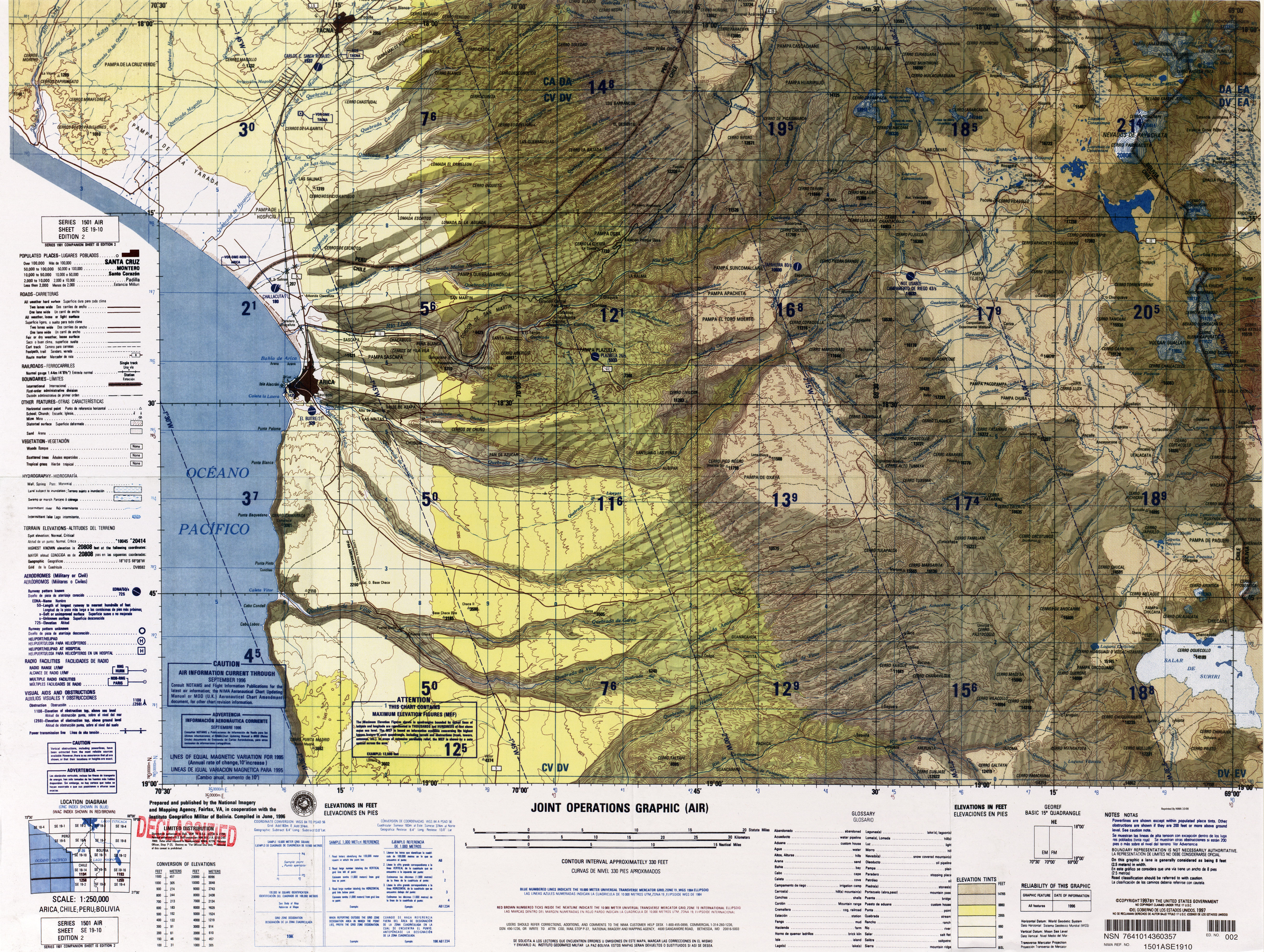
- ^ a b "SE 19-10 Arica, Chile; Peru; Bolivia". Latin America, Joint Operations Graphic 1:250,000 [Not for navigational use]. University of Texas. Retrieved 10 April 2016.
- ^ "Maximo Kausch llega a la mitad de su proyecto andino y 'descubre' un nuevo seismil". Desnivel. 2 September 2013. Retrieved 20 December 2016.
- ^ Quintero, Santiago. "Diario de Expedición: Bolivia, 14 x Seis mil en 60 Días". Retrieved 20 December 2016.
- ^ Ochsenius, Claudio (1986). "La Glaciación Puna durante el Wisconsin, Desglaciación y Máximo Lacustre en la Transición Wisconsin-Holoceno y Refugios de Megafauna Postglaciales en la Puna y Desierto de Atacama" (PDF). Revista de Geografía Norte Grande (in Spanish). 13: 36. Retrieved 10 April 2016.
- ^ Watts, Robert B.; Clavero Ribes, Jorge; Sparks, R. Stephen J. (30 September 2014). "Origen y emplazamiento del Domo Tinto, volcán Guallatiri, Norte de Chile". Andean Geology. 41 (3). doi:10.5027/andgeoV41n3-a04.
- ^ Aravena, Diego; Villalón, Ignacio; Pablo, Sánchez. "Igneous Related Geothermal Resource in the Chilean Andes" (PDF). World Geothermal Congress 2015. Retrieved 10 April 2016.
- ^ Avila-Salinas, Waldo (1991). "Petrologic and tectonic evolution of the Cenozoic volcanism in the Bolivian western Andes". 265: 248. doi:10.1130/SPE265-p245. ISSN 0072-1077.
{{cite journal}}: Cite journal requires|journal=(help)