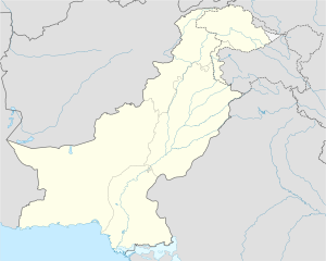
Daur Taluka
Appearance
Dour | |
|---|---|
Town | |
| Coordinates (26°27′30″N 68°19′09″E / 26.458333°N 68.319167°E): 26°27′30″N 68°19′09″E / 26.45833°N 68.31917°E | |
| Country | |
| District | Nawabshah Sindh |
| Town | Daur |
| Government | |
| • Type | Town Committee & Taluka |
| • Chairman | Choudhari Muhammad Waseem Afzal |
| • Vice Chairman | Muhammad Hussain Yaseen |
| Time zone | UTC+5 (PKT) |
Daur is a Taluka & Town Committee in the district Shaheed Benazir Abad (Nawabshah), in the Sindh province of Pakistan. The region contains numerous villages, such as Kathri, Sindh. Daur is a hub for agriculture and animal farms and was badly damaged by the floods in 2010.[1]
Geography
Daur lies approximately 100 kilometres (62 mi) west of India, 300 kilometres (190 mi) east of Iran and 400 kilometres (250 mi) south of Afghanistan.
References
- ^ Guerin, Orla (October 28, 2010). "Despair of Pakistan's forgotten flood victims". BBC News. Retrieved April 27, 2012.

