
File:CIA World Map Political 2021.pdf
Size of this JPG preview of this PDF file: 800 × 457 pixels. Other resolutions: 320 × 183 pixels | 640 × 366 pixels | 1,024 × 585 pixels | 1,280 × 731 pixels | 2,560 × 1,463 pixels | 6,300 × 3,600 pixels.
Original file (6,300 × 3,600 pixels, file size: 22.53 MB, MIME type: application/pdf)
| This is a file from the Wikimedia Commons. Information from its description page there is shown below. Commons is a freely licensed media file repository. You can help. |
| Description |
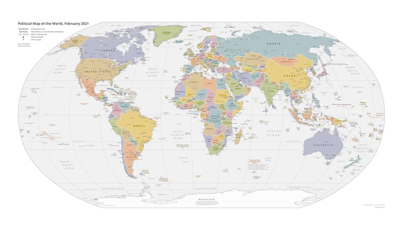
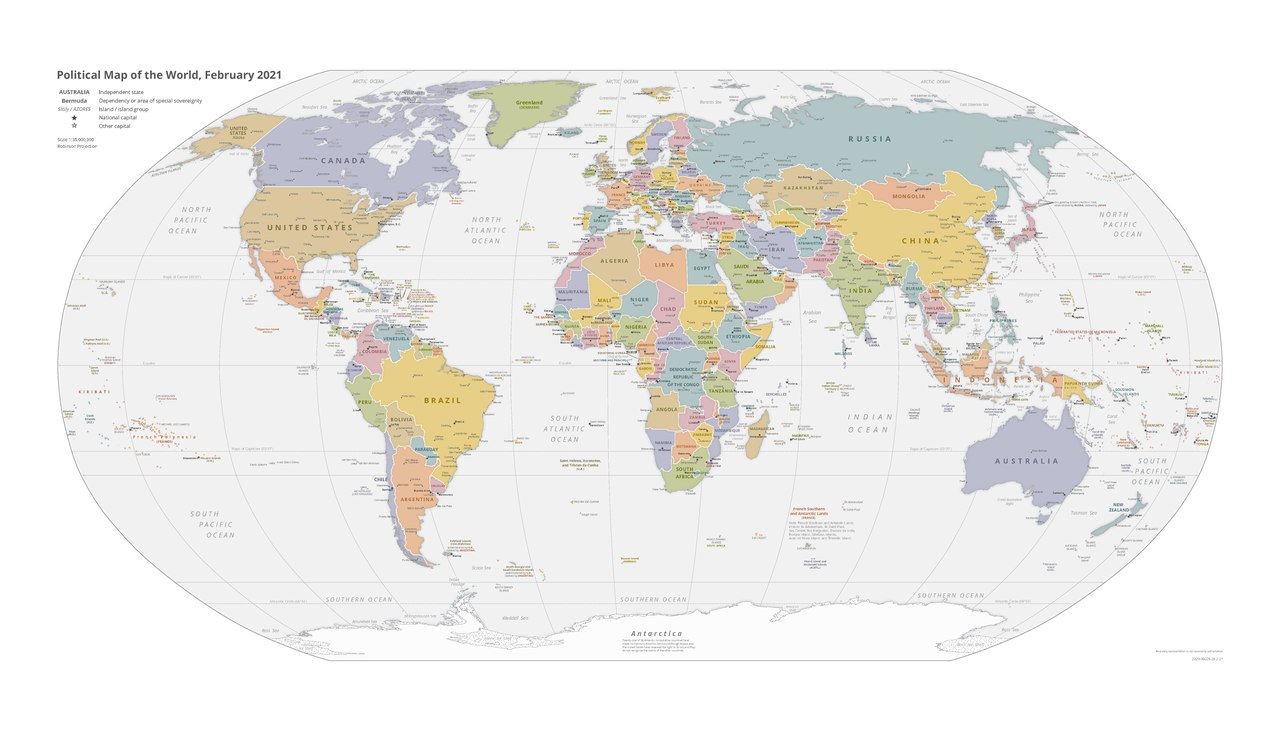
English: CIA World Factbook Political World Map February 2021 |
| Date | |
| Source | https://www.cia.gov/the-world-factbook/static/a3923845c9726ba40450a039d3f3b96b/world_pol.pdf |
| Author | Central Intelligence Agency |
Licensing
| This image is a work of a Central Intelligence Agency employee, taken or made as part of that person's official duties. As a Work of the United States Government, this image or media is in the public domain in the United States.
|

|
File history
Click on a date/time to view the file as it appeared at that time.
| Date/Time | Thumbnail | Dimensions | User | Comment | |
|---|---|---|---|---|---|
| current | 23:24, 28 March 2021 |  | 6,300 × 3,600 (22.53 MB) | Interstellarity | Uploaded a work by CIA World Factbook from https://www.cia.gov/the-world-factbook/static/a3923845c9726ba40450a039d3f3b96b/world_pol.pdf https://www.cia.gov/the-world-factbook/static/2ea375ba452947cfe77e5a3d6cd7c1c5/world_phy.pdf with UploadWizard |
File usage
No pages on the English Wikipedia use this file (pages on other projects are not listed).