
File:Map of municipalities of Colombia 2009.svg

Size of this PNG preview of this SVG file: 442 × 600 pixels. Other resolutions: 177 × 240 pixels | 354 × 480 pixels | 566 × 768 pixels | 755 × 1,024 pixels | 1,510 × 2,048 pixels | 7,455 × 10,112 pixels.
Original file (SVG file, nominally 7,455 × 10,112 pixels, file size: 3.73 MB)
| This is a file from the Wikimedia Commons. Information from its description page there is shown below. Commons is a freely licensed media file repository. You can help. |
Summary
| Description |
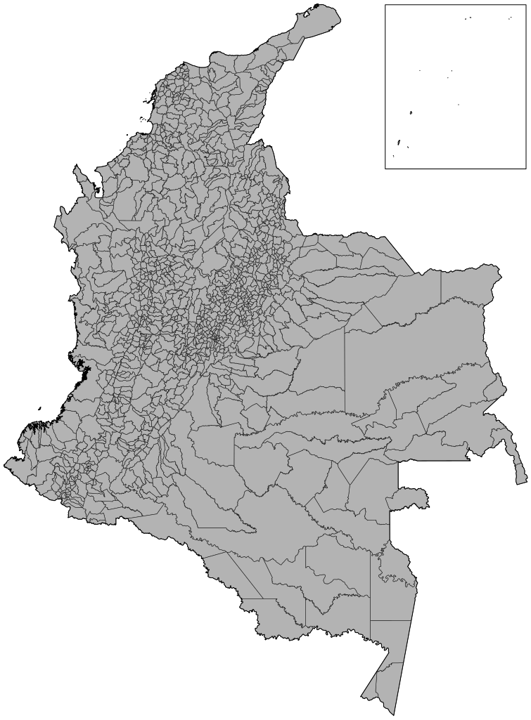
English: Map of the municipalities of Colombia in SVG format. Includes an ortographic projection by User:Connormah. |
| Date | |
| Source | Own work (Original text: I created this work entirely by myself.) |
| Author | Camilo Sanchez (talk) |
Licensing
Camilo Sanchez at English Wikipedia, the copyright holder of this work, hereby publishes it under the following license:
This file is licensed under the Creative Commons Attribution 3.0 Unported license.
Attribution: Camilo Sanchez at English Wikipedia
- You are free:
- to share – to copy, distribute and transmit the work
- to remix – to adapt the work
- Under the following conditions:
- attribution – You must give appropriate credit, provide a link to the license, and indicate if changes were made. You may do so in any reasonable manner, but not in any way that suggests the licensor endorses you or your use.
Original upload log
Transferred from en.wikipedia to Commons by Shadowxfox.
The original description page was here. All following user names refer to en.wikipedia.
- 2009-06-21 07:55 Camilo Sanchez 1632×2112× (2215453 bytes) {{Information |Description = Map of the municipalities of Colombia in SVG format. Includes an ortographic projection by User:Connormah. |Source = I created this work entirely by myself. |Date = June, 21, 2009 |Author = ~~~
File history
Click on a date/time to view the file as it appeared at that time.
| Date/Time | Thumbnail | Dimensions | User | Comment | |
|---|---|---|---|---|---|
| current | 15:17, 3 September 2015 | | 7,455 × 10,112 (3.73 MB) | Cuchilla11 | Reverted to version as of 21:19, 5 June 2015 |
| 15:17, 3 September 2015 |  | 7,455 × 10,112 (3.73 MB) | Cuchilla11 | Reverted to version as of 21:19, 5 June 2015 | |
| 15:15, 3 September 2015 |  | 1,632 × 2,112 (2.17 MB) | Cuchilla11 | Reverted to version as of 18:52, 25 September 2009 | |
| 21:19, 5 June 2015 |  | 7,455 × 10,112 (3.73 MB) | Milenioscuro | updated | |
| 04:29, 25 September 2012 |  | 512 × 702 (2.62 MB) | OgreBot | (BOT): Reverting to most recent version before archival | |
| 04:29, 25 September 2012 |  | 1,632 × 2,112 (2.11 MB) | OgreBot | (BOT): Uploading old version of file from en.wikipedia; originally uploaded on 2009-06-21 07:55:02 by Camilo Sanchez | |
| 17:28, 9 April 2012 |  | 512 × 702 (2.62 MB) | Cuchilla11 | Reverted to version as of 23:20, 21 February 2012 | |
| 17:25, 9 April 2012 |  | 1,632 × 2,112 (2.17 MB) | Cuchilla11 | Reverted to version as of 18:52, 25 September 2009 | |
| 23:20, 21 February 2012 |  | 512 × 702 (2.62 MB) | Milenioscuro | added new municipalities | |
| 18:52, 25 September 2009 |  | 1,632 × 2,112 (2.17 MB) | Milenioscuro | {{Information |Description={{en|Map of the municipalities of Colombia in SVG format. Includes an ortographic projection by User:Connormah.}} |Source=Transferred from [http://en.wikipedia.org en.wikipedia]; transfer was stated to be made by [[User:Shadowxf |
File usage
The following pages on the English Wikipedia use this file (pages on other projects are not listed):
Global file usage
The following other wikis use this file:
- Usage on es.wikipedia.org