
File:Lignes Aériennes Congolaises Boeing 767-200ER TF-ATO BRU 2002-3-2.png

Size of this preview: 800 × 535 pixels. Other resolutions: 320 × 214 pixels | 640 × 428 pixels | 1,024 × 684 pixels | 1,200 × 802 pixels.
Original file (1,200 × 802 pixels, file size: 2.76 MB, MIME type: image/png)
| This is a file from the Wikimedia Commons. Information from its description page there is shown below. Commons is a freely licensed media file repository. You can help. |
| Description |
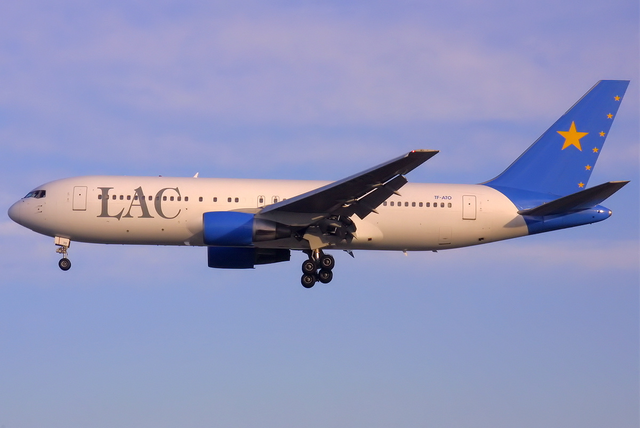
English: A Lignes Aériennes Congolaises Boeing 767-204/ER at Zaventem Airport (BRU / EBBR) |
| Date | |
| Source | http://www.airliners.net/photo/LAC---Lignes/Boeing-767-204-ER/0227224/L/ |
| Author | Paul Spijkers |
This file comes from the Paul Spijkers collection and is copyrighted.
Note: This permission only extends to photos taken by Paul Spijkers at this link, in addition to files which may be provided via email. It does not include any other content from airliners.net which has not been provided by Paul Spijkers.
|

| Camera location | | View this and other nearby images on: OpenStreetMap |
|---|
File history
Click on a date/time to view the file as it appeared at that time.
| Date/Time | Thumbnail | Dimensions | User | Comment | |
|---|---|---|---|---|---|
| current | 00:32, 15 October 2011 | | 1,200 × 802 (2.76 MB) | Jetstreamer | {{Information |Description ={{en|1=A Lignes Aériennes Congolaises Boeing 767-204/ER at Zaventem Airport (BRU / EBBR)}} {{PaulSpijkers}} |Source =http://www.airliners.net/photo/LAC---Lignes/Boeing-767-204-ER/0227224/L/ |Author =Paul Spi |
File usage
The following pages on the English Wikipedia use this file (pages on other projects are not listed):
Global file usage
The following other wikis use this file:
- Usage on dag.wikipedia.org