
File:Rennel map 1799.png

Size of this preview: 746 × 600 pixels. Other resolutions: 299 × 240 pixels | 597 × 480 pixels | 955 × 768 pixels | 1,273 × 1,024 pixels | 1,318 × 1,060 pixels.
Original file (1,318 × 1,060 pixels, file size: 335 KB, MIME type: image/png)
| This is a file from the Wikimedia Commons. Information from its description page there is shown below. Commons is a freely licensed media file repository. You can help. |
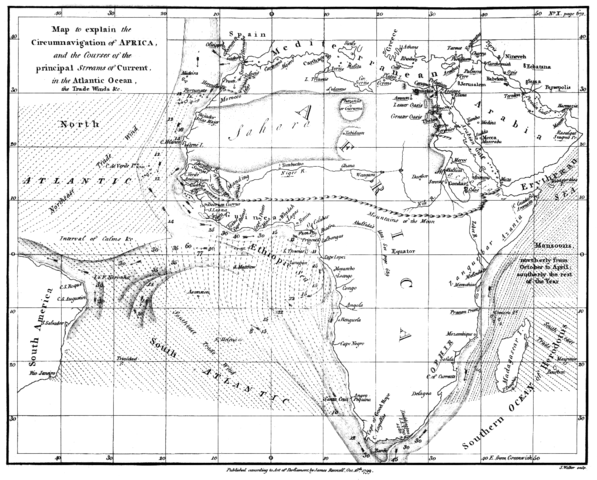
| Description | Map of the currents in the Atlantic and Indian Ocean | ||||
| Date | |||||
| Source | "The geographical system of herodotus ..." by James Rennell, London 01. January 1800 | ||||
| Author | James Rennell | ||||
| Permission (Reusing this file) |
|
||||
File history
Click on a date/time to view the file as it appeared at that time.
| Date/Time | Thumbnail | Dimensions | User | Comment | |
|---|---|---|---|---|---|
| current | 15:07, 13 February 2018 | | 1,318 × 1,060 (335 KB) | Shyamal | Contrast |
| 17:28, 4 August 2005 |  | 1,318 × 1,060 (4.01 MB) | Kl833x9~commonswiki | Map of the currents in the Atlantic and Indian Ocean Created by James Rennell 1799 Source: Copy from Book "The geographical system of herodotus ..." by James Rennell, London 01. January 1800 {{PD}} |
File usage
The following pages on the English Wikipedia use this file (pages on other projects are not listed):
Global file usage
The following other wikis use this file:
- Usage on ar.wikipedia.org
- Usage on ary.wikipedia.org
- Usage on bn.wikipedia.org
- Usage on br.wikipedia.org
- Usage on ca.wikipedia.org
- Usage on da.wikipedia.org
- Usage on da.wikibooks.org
- Usage on de.wikipedia.org
- Usage on es.wikipedia.org
- Usage on fa.wikipedia.org
- Usage on fa.wikibooks.org
- Usage on hif.wikipedia.org
- Usage on hi.wikipedia.org
- Usage on id.wikipedia.org
- Usage on ja.wikipedia.org
- Usage on mk.wikipedia.org
- Usage on nl.wikipedia.org
- Usage on pnb.wikipedia.org
- Usage on sd.wikipedia.org
- Usage on ta.wikipedia.org
- Usage on tr.wikipedia.org
- Usage on ur.wikipedia.org
- Usage on www.wikidata.org