
File:Topo map Attappati Reserve Forest.jpg
Size of this preview: 697 × 600 pixels. Other resolutions: 279 × 240 pixels | 558 × 480 pixels | 838 × 721 pixels.
Original file (838 × 721 pixels, file size: 893 KB, MIME type: image/jpeg)
| This is a file from the Wikimedia Commons. Information from its description page there is shown below. Commons is a freely licensed media file repository. You can help. |
Summary
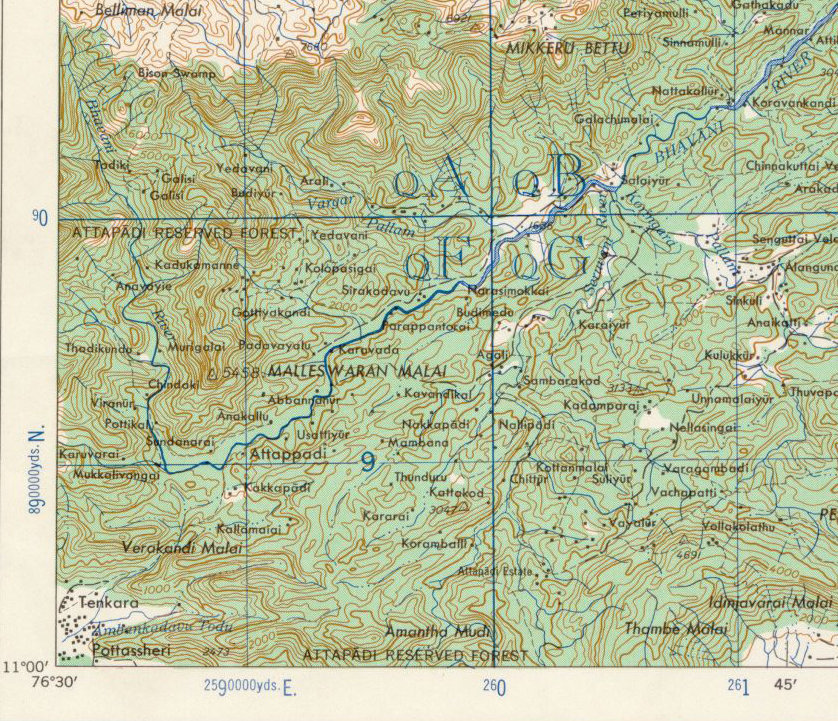
Description: Topo Map, Attappati Reseerve Forest, Kerala, India Source: U.S. Army Topology Command [Image:Erode-topo.jpg] Date: 1959/3-6-2007 Author: U.S. Army Map Service, cropped & labeled by -Marcus Permission: Public Domain Other versions: [1] , [2]
![[1]](http://www.lib.utexas.edu/maps/ams/india/nc-43-04.jpg)
Licensing
This file is a work of a U.S. Army soldier or employee, taken or made as part of that person's official duties. As a work of the U.S. federal government, it is in the public domain in the United States.
|
 |
File history
Click on a date/time to view the file as it appeared at that time.
| Date/Time | Thumbnail | Dimensions | User | Comment | |
|---|---|---|---|---|---|
| current | 19:39, 3 April 2007 | | 838 × 721 (893 KB) | Marcus334 | Description: Topo Map, Attappati Reseerve Forest, Kerala, India Source: U.S. Army Topology Command [Image:Erode-topo.jpg] Date: 1959/3-6-2007 Author: U.S. Army Map Service, cropped & labeled by -Marcus Permission: Public Domain Other |
File usage
The following 3 pages use this file:
Global file usage
The following other wikis use this file:
- Usage on azb.wikipedia.org
- Usage on bn.wikipedia.org
- Usage on ml.wikipedia.org
- Usage on ta.wikipedia.org
- Usage on ur.wikipedia.org