
File:Trasse der ehemaligen Bahnstrecke Vouziers–Juniville–Le Châtelet-sur-Retourne auf OpenStreetMap.jpg

Size of this preview: 800 × 329 pixels. Other resolutions: 320 × 132 pixels | 640 × 263 pixels | 1,024 × 421 pixels | 1,920 × 790 pixels.
Original file (1,920 × 790 pixels, file size: 482 KB, MIME type: image/jpeg)
| This is a file from the Wikimedia Commons. Information from its description page there is shown below. Commons is a freely licensed media file repository. You can help. |
Summary
| Description |
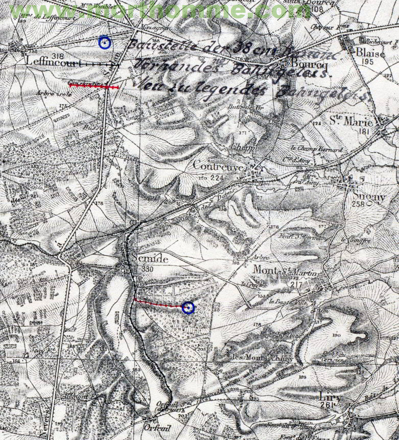
Deutsch: Trasse der ehemaligen Bahnstrecke Vouziers–Juniville–Le Châtelet-sur-Retourne auf OpenStreetMap |
| Date | |
| Source |
|
| Author |
|
Licensing
This file is licensed under the Creative Commons Attribution-Share Alike 2.5 Generic license.
- You are free:
- to share – to copy, distribute and transmit the work
- to remix – to adapt the work
- Under the following conditions:
- attribution – You must give appropriate credit, provide a link to the license, and indicate if changes were made. You may do so in any reasonable manner, but not in any way that suggests the licensor endorses you or your use.
- share alike – If you remix, transform, or build upon the material, you must distribute your contributions under the same or compatible license as the original.
File history
Click on a date/time to view the file as it appeared at that time.
| Date/Time | Thumbnail | Dimensions | User | Comment | |
|---|---|---|---|---|---|
| current | 13:04, 11 July 2022 | 1,920 × 790 (482 KB) | NearEMPTiness | + Langer Max | |
| 15:36, 9 July 2022 | 1,920 × 582 (324 KB) | NearEMPTiness | Trasse am östlichen Ende nördlich der Straße | ||
| 15:10, 9 July 2022 | 1,920 × 586 (315 KB) | NearEMPTiness | Uploaded a work by * OpenStreetMap-Mitwirkende * IGN * NearEMPTiness from * https://www.openstreetmap.org/#map=12/49.3742/4.4956 * https://remonterletemps.ign.fr/comparer/basic?x=4.492177&y=49.367280&z=12&layer1=GEOGRAPHICALGRIDSYSTEMS.MAPS.SCAN50.1950&layer2=ORTHOIMAGERY.ORTHOPHOTOS&mode=scope with UploadWizard |
File usage
The following page uses this file:
Global file usage
The following other wikis use this file:
- Usage on de.wikipedia.org