Ghulam Khan
Ghulam Khan
غلام خان | |
|---|---|
Town | |
 | |
| Coordinates: 33°08′38″N 70°01′26″E / 33.14389°N 70.02389°E | |
| Country | |
| Province | |
| District | North Waziristan |
| Tehsil | Ghulam Khan |
| Elevation | 2,010 m (6,590 ft) |
| Population | |
| • Total | 2,553 |
| Time zone | UTC+5 (PST) |
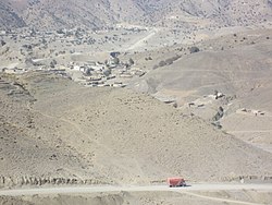
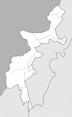
Ghulām Khān (Pashto/Urdu: غلام خان) is town in North Waziristan, FATA, Pakistan. Ghulam Khan is on the border between Pakistan and Afghanistan. It is the third most important border crossing point between Pakistan and Afghanistan, after Chaman and Torkham.
This border is opened for trade between Pakistan and Afghanistan on Friday, 9 March 2018.
On Sept 25, 2008, as an indication of escalating tensions between nations, Pakistani forces fired warning shots at the American aircraft after they crossed into Pakistan’s territory in the area of Saidgai, in North Waziristan’s Ghulam Khan region.
- ^ "POPULATION AND HOUSEHOLD DETAIL FROM BLOCK TO DISTRICT LEVEL: FATA (NORTH WAZIRISTAN)" (PDF). www.pbscensus.gov.pk. 2018-01-03. Retrieved 2018-04-02.


