Goddard Memorial State Park
Appearance
| Goddard Memorial State Park | |
|---|---|
 | |
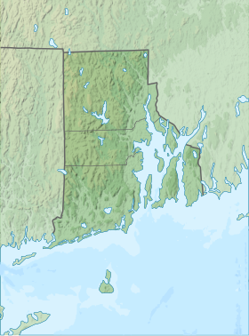
| Location | Warwick, Rhode Island, United States |
| Coordinates | 41°39′20″N 71°26′9″W / 41.65556°N 71.43583°W[1] |
| Area | 489.2 acres (198.0 ha)[2] |
| Elevation | 39 ft (12 m)[1] |
| Established | 1927 |
| Named for | Col. Robert Goddard |
| Administrator | Rhode Island Department of Environmental Management Division of Parks & Recreation |
| Website | Goddard Memorial State Park |
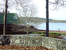
Goddard Memorial State Park is a public recreation area occupying 490 acres (200 ha) along the shores of Greenwich Cove and Greenwich Bay in Warwick, Rhode Island. The state park grounds were once the estate of Civil War officer and Rhode Island politician Robert Goddard, whose children gave the land to the state in 1927 as a memorial to their father.[3] The park features a nine-hole golf course, an equestrian area with 18 miles (29 km) of bridle trails, swimming beach, canoeing area, picnicking facilities, game fields, and a performing arts center.[4]
References
[edit]- ^ a b "Potowomut Neck". Geographic Names Information System. United States Geological Survey, United States Department of the Interior.
- ^ "Goddard Memorial State Park". State of Rhode Island Division of Parks & Recreation. Archived from the original on February 4, 2005. Retrieved January 27, 2023.
- ^ "Goddard Memorial State Park History". State of Rhode Island Division of Parks & Recreation. Retrieved August 26, 2014.
- ^ "Goddard Memorial State Park". State of Rhode Island Division of Parks & Recreation. Retrieved August 26, 2014.
External links
[edit]Wikimedia Commons has media related to Goddard Memorial State Park.
- Goddard Memorial State Park Rhode Island Department of Environmental Management Division of Parks & Recreation
- Goddard Memorial State Park Map Rhode Island Department of Environmental Management Division of Parks & Recreation

