Guyam Island

Coordinates: 9°45′54″N 126°10′4″E / 9.76500°N 126.16778°E / 9.76500; 126.16778
From Wikipedia, the free encyclopedia

This is an old revision of this page, as edited by JJMC89 bot (talk | contribs) at 00:54, 24 November 2016 (Migrate {{Infobox islands}} coordinates parameters to {{Coord}}, see Wikipedia:Coordinates in infoboxes). The present address (URL) is a permanent link to this revision, which may differ significantly from the current revision.

Guyam Island
Guyam Island is located in Philippines
Guyam Island
Guyam Island
Location within the Philippines
Geography
LocationPhilippine Sea
Coordinates9°45′54″N 126°10′4″E / 9.76500°N 126.16778°E / 9.76500; 126.16778
Administration

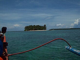
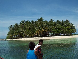
Guyam Island is a tear-drop shaped island in the Philippine Sea situated 780 kilometres (480 mi) southeast of Manila in the province of Surigao del Norte. It is around 2 kilometres (1.2 mi) south-southeast of General Luna municipality.

External links