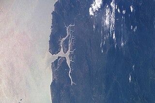
Heinze River
Appearance

The Heinze River is a river of Burma. It has its source in the Tenasserim Hills and ends in the Andaman Sea in the Tanintharyi Region coast. The Heinze Islands is a small island group located 25 km to the SSW of the mouth of the Heinze River.[1]
See also
References
- ^ Prostar Sailing Directions 2005 India & Bay of Bengal Enroute By National Geospatial-intelligence Agency
External links
- Yadana gas Development Project - Wharf construction
- Yadana gas Development Project - Bridge construction
14°44′N 97°56′E / 14.733°N 97.933°E
