
Herrenhof
Herrenhof | |
|---|---|
Location of Herrenhof within Gotha district 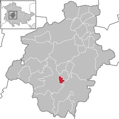 | |
 Herrenhof  Herrenhof | |
| Coordinates: 50°50′35″N 10°41′13″E / 50.84306°N 10.68694°E | |
| Country | Germany |
| State | Thuringia |
| District | Gotha |
| Municipal assoc. | Apfelstädtaue |
| Government | |
| • Mayor | Axel Nagel (CDU) |
| Area | |
| • Total | 4.40 km2 (1.70 sq mi) |
| Elevation | 363 m (1,191 ft) |
| Population (2022-12-31)[1] | |
| • Total | 726 |
| • Density | 170/km2 (430/sq mi) |
| Time zone | UTC+01:00 (CET) |
| • Summer (DST) | UTC+02:00 (CEST) |
| Postal codes | 99887 |
| Dialling codes | 036253 |
| Vehicle registration | GTH |
Herrenhof is a municipality in the district of Gotha, in Thuringia, Germany.

References
| International | |
|---|---|
| National | |
This Gotha district location article is a stub. You can help Wikipedia by expanding it. |