Highall Wood
Appearance
| Highall Wood | |
|---|---|
| Geography | |
| Location | Lincolnshire, England |
| Coordinates | 53°10′23″N 0°10′42″W / 53.17306°N 0.17833°W |
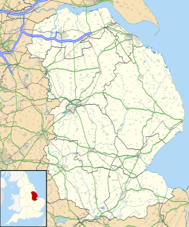
Highall Wood is a woodland to the north east of the village of Woodhall Spa, Lincolnshire. It is bordered by Park Plantation to the east and White Hall Wood to the south.[1][2]
Two small streams; Reed's Beck to the south and Odd's Beck to the north also run along its edges and drain the woodland.
A Public Bridleway between Woodhall Spa and Martin runs along the eastern edge.
References
[edit]- ^ "MLI43006 - Highall Wood, Woodhall". heritage-explorer.lincolnshire.gov.uk. Retrieved 2024-02-02.
- ^ Coward, Barry (1983). The Stanleys, Lords Stanley, and Earls of Derby, 1385-1672: The Origins, Wealth, and Power of a Landowning Family. Manchester University Press. ISBN 978-0-7190-1338-6.

