Jump to content

Hurdegaryp

Coordinates: 53°12′54″N 5°56′25″E / 53.21500°N 5.94028°E / 53.21500; 5.94028
From Wikipedia, the free encyclopedia

This is an old revision of this page, as edited by Michielverbeek (talk | contribs) at 20:57, 23 March 2016. The present address (URL) is a permanent link to this revision, which may differ significantly from the current revision.

Hurdegaryp
Village
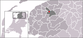
Location of Hurdegaryp
CountryNetherlands Netherlands
ProvinceFriesland Friesland
Population
 • Total
c. 5,000
Hurdegarijp, church (de Hofkerk)

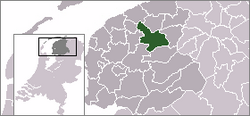
Hurdegaryp (Template:Lang-nl) is a village in the northern part of the Netherlands, in the municipality of Tytsjerksteradiel. Its history dates back to at least the 13th century. It had a population of around 5000 in 2008.[1]

In Dutch the village is called Hardegarijp, Hurdegaryp is its West Frisian and official name.

Transportation

See also

References

53°12′54″N 5°56′25″E / 53.21500°N 5.94028°E / 53.21500; 5.94028