Kandal, Norway
Kandal | |
|---|---|
Village | |
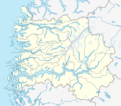
Location in Sogn og Fjordane county | |
| Coordinates: 61°40′20″N 06°22′46″E / 61.67222°N 6.37944°E | |
| Country | Norway |
| Region | Western Norway |
| County | Sogn og Fjordane |
| District | Nordfjord |
| Municipality | Gloppen Municipality |
| Population (2001)[1] | |
| • Total | 87 |
| Time zone | UTC+01:00 (CET) |
| • Summer (DST) | UTC+02:00 (CEST) |
| Post Code | 6823 Sandane |
Kandal is a small village located along the west side of the lake Breimsvatnet, about 15 kilometres (9.3 mi) southeast of the municipal center of Sandane in the municipality of Gloppen in Sogn og Fjordane county, Norway. The population of Kandal (2001) is 87, and the village area stretches along the shore of the lake for about 5 kilometres (3.1 mi).[1]
Surrounded by high mountains, the main industry in Kandal is goat farming. There are two mountain dairy farms (Norwegian: seter) in Kandal: Myklandsstøylen and Nesstøylen. In the summer, most of the people take their animals up there to graze them and milk them.
References
- ^ a b Statistisk sentralbyrå (2001). "Folke- og boligtellingen 2001, kommune- og bydelshefter 1445 Gloppen" (PDF) (in Norwegian).
{{cite journal}}: Cite journal requires|journal=(help)


