Kolopopo
Appearance
Kolopopo | |
|---|---|
Village | |
| Coordinates: 13°20′54″S 176°12′52″W / 13.34833°S 176.21444°W | |
| Country | |
| Territory | |
| Island | Wallis |
| Chiefdom | Uvea |
| District | Mua |
| Population (2008) | |
• Total | 144 |
| Time zone | UTC+12 |
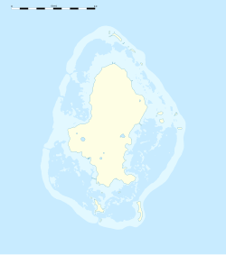
Kolopopo is a village in Wallis and Futuna. It is located in Mua District on the southwest coast of Wallis Island. Its population according to the 2008 census was 144 people.[1] In the northwestern part there is a long prominent jetty and the Club de Plongee.
References
- ^ "Population municipale des villages des îles Wallis et Futuna (recensement 2008)". INSEE. Retrieved 10 June 2011.


