Kupa (Lėvuo)
Appearance
| Kupa | |
|---|---|
 | |
 | |
| Physical characteristics | |
| Mouth | Lėvuo River |
| Length | 27 km (17 mi) |
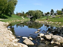
The Kupa is a small river in northern Lithuania and a tributary of the Lėvuo. At first it flows to north but then near Juodupė town turns to the west. It flows through Kupiškis; the name of the town is derived from name of the river.
55°50′07″N 24°56′38″E / 55.8354°N 24.944°E
