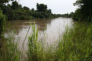
Mékrou River
Appearance

The Mékrou River is a river of Benin, Burkina Faso, and Niger. It flows through the W National Park.
A tributary of the Niger River, it begins in Benin and forms part of the border between Benin and Burkina Faso and between Benin and Niger. The proposed construction of the Dyondyonga electricity dam on the river has caused some concern amongst environmentalists.
12°24′00″N 2°49′00″E / 12.4°N 2.81667°E

