Möhne
Appearance
| Möhne | |
|---|---|
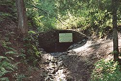
 The source of the Möhne | |
 | |
| Location | |
| Country | Germany |
| State | North Rhine-Westphalia |
| Physical characteristics | |
| Source | |
| • location | Sauerland |
| • elevation | 550 m (1,800 ft) |
| Mouth | |
• location | Ruhr |
• coordinates | 51°27′25″N 7°57′17″E / 51.45694°N 7.95472°E |
| Length | 65.1 km (40.5 mi) [1] |
| Basin size | 469 km2 (181 sq mi) [1] |
| Basin features | |
| Progression | Ruhr→ Rhine→ North Sea |
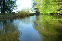
The Möhne (German pronunciation: [ˈmøːnə]) is a river in North Rhine-Westphalia, Germany. It is a right tributary of the Ruhr. The Möhne passes the towns of Brilon, Rüthen and Warstein. There is a large artificial lake near the mouth of the river, the Möhne Reservoir, used for hydro power generation and leisure activities.
References
[edit]External links
[edit] Media related to Möhne at Wikimedia Commons


