Maciá
Appearance
You can help expand this article with text translated from the corresponding article in Spanish. (May 2010) Click [show] for important translation instructions.
|
Maciá | |
|---|---|
Municipality and village | |
 | |
| Country | |
| Province | Entre Ríos Province |
Maciá is a village and municipality in Entre Ríos Province in north-eastern Argentina.[1]
It is named after Salvador Maciá (1855-1929), a physician and provincial governor.
Population
There are 6,180 inhabitants ( DEC, 2001 ), representing a growth of 33.56% compared with 4,347 inhabitants ( DEC, 1991 ) the previous census.
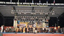
National day of beekeeping
Takes place every year in the "Parque del Centenario"

References
32°10′S 59°23′W / 32.167°S 59.383°W
