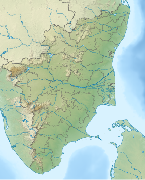
Mahendragiri (Tamil Nadu)
Appearance
| Mahendragiri (Tamil Nadu) மகேந்திர கிரி | |
|---|---|
| Highest point | |
| Elevation | 1,654 m (5,427 ft) |
| Geography | |
| Location | Tirunelveli District, Tamil Nadu, India |
| Parent range | Western Ghats |
| Climbing | |
| Easiest route | Hike/scramble |
Mahendragiri மகேந்திர கிரி is the name of a hill in Tirunelveli District, South Tamil Nadu.[1] It is part of the southern tip of the Western Ghats, with an elevation of 1,645.2 metres (5,398 ft).[2]
ISRO Propulsion Complex, a test facility for Indian Space Research Organisation's launch vehicle and satellite propulsion systems, is situated on the lower slopes of this mountain.
Citations
References
- Nagar, Shanti Lal (1999). Genesis and evolution of the Rāma kathā in Indian art, thought, literature, and culture: from the earliest period to the modern times, Volume 2. B.R. Pub. Co. ISBN 81-7646-084-2.

