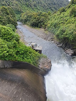
Mangahao River
Appearance
| Mangahao River | |
|---|---|
 | |
 | |
| Physical characteristics | |
| Source | |
| • location | Tararua Range |
| Mouth | |
• location | Manawatu River |
The Mangahao River is located in the North Island of New Zealand. The headwaters are in the Tararua Ranges. The river flows northeast feeds into the Manawatu River south of Woodville.
There are two dams on the river which tunnel water, via a third reservoir on the Tokomaru River, to the Mangahao Power Station located on the Mangaore Stream near Shannon.
40°23′S 175°50′E / 40.383°S 175.833°E
